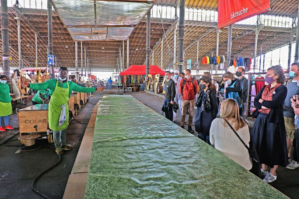
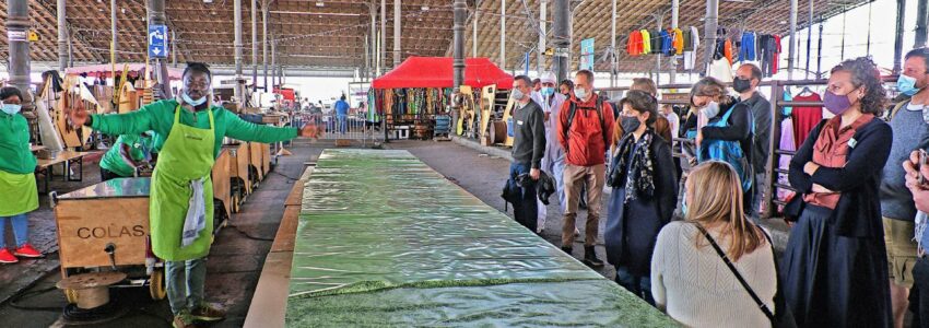
03 The walkshop
A method for urban areas with a high density of development plans where gentrification is likely to happen. It lets stakeholders with different types of knowledge (e. g. city planners, local residents, users) meet as equal partners and learn from each other.
Do preliminary fieldwork
A walkshop requires thorough urban diagnosis in order to identify all the stakeholders to be engaged. This includes mapping local and regional stakeholders and the usage patterns of the public space(s) in questions.
Define the area and the discussion stops
Demarcate the territory (based on the mental maps of the participants involved) where the tour takes place. Choose and define in advance stopping points for discussion, with the aim of highlighting areas of tension, where the actual use of space is challenged / threatened by future urban development plans.
Conduct the tour
Hold a short presentation at the beginning to clarify the objectives of the day. If possible, have a cargo bike offering refreshments and use an object (e. g. an umbrella) to symbolically mark the discussion stops. At each stop, at least two persons should present the space and its usage. Have a space where participants can gather after the tour and engage in a more informal discussion.
Benefits
It enables participants to get the user experience of a space and relate it to future real estate development plans. It allows planning experts to transform and democratise their narratives, using physical measurements rather than the conventions of architectural scale drawings. Local stakeholders can present their space-related practices in their own words and within the space in question. It ensures that communication methods used by experts (e. g. blueprints, models and presentations tools) do not “dominate” stakeholders with lay knowledge.
Who is it for
Urban planning authorities and experts, local residents, users, community-based organisations, etc.
How does it work
Organise a tour in the area at stake with discussion stops where local stakeholders present the space from their point of view. Support informal discussion and exchange.
Why, what for
For creating common knowledge about the use of a specific site and the related urban projects
Who can do it and what do you need for it
Competences: considerable knowledge about the usage of the chosen site, about real estate actors and ongoing urban transformation plans
Materials: refreshments, umbrella, cargo bike (optional)
At what phase in a planning process
After completing the site-diagnostic
Estimated budget
Costs of renting a space and food and beverages
for the exchange after the tour
syncity Contact
Basile Museux, basile.museux(at)abattoir.be,
Christian Dessouroux, cdessour(at)ulb.ac.be

Further reading:
Zask, Joëlle. 2011. Participer: Essai sur les formes démocratiques de la participation. Paris: Le Bord de l’eau.
*
Collectif Rosa Bonheur. 2019. La Ville vue d’en-bas: Travail et production de l’espace populaire. Editions Amsterdam.
*
Berger, Mathieu. 2019. Le temps d’une politique: Chronique des contrats de quartier Bruxellois. Brussels: Fondation CIVA Stichting.

