07 Collaborative mapping
A popular method to engage stakeholders in urban planning and design and to develop a better understanding of the different types of activities encountered in the public space. The aim is to facilitate the spatialisation of users’ mobility flows and set the conditions for identifying possible conflicts in the public space.
Select the most suitable format
Syncity tested three versions of collaborative mapping:
– traditional (single use printed maps and hand drawing)
– whiteboard (map printed on an erasable whiteboard and hand drawing with special markers)
– online (digital drawing on a static map using an open-source programme – AWW APP).
The traditional and whiteboard versions are well suited for groups of 6 – 8 people and require a large space, a suitable date and time, and the creation of a group with similar interests to assure a comfortable environment that facilitates their interaction (e. g. shop keepers or members of an association). The online version works better for individual interactions, but the participants need to have digital literacy skills and equipment, and you need to explain the tools in a training session.
Hold the workshop
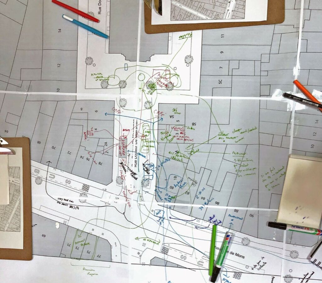
Ask participants to draw their resident / user experiences (e. g. crossing the street or resting), including the barriers encountered, on a geographical map of a familiar public space. Alternatively, provide them with blank paper (or sheets with a few elements already drawn on it) and ask them to develop mental maps. This allows participants to draw their own perception of space that leads to a more personal representation of space.
Benefits
Collaborative mapping allows participants to identify and visualise the most frequented areas used as passages. The facilitator and the tools provided enable the representation of local knowledge about a specific area. The act of drawing together triggers a discussion about the problems and opens up possibilities for the transformation of a public space.
Who is it for
Users of a particular area
How does it work
Participants work together to draw mobility flows in the public space and identify potential conflicts of usage.
Why, what for
It leads to a deeper understanding of different usages and the needs of the local community.
Who can do it and what do you need for it
Competences: skills for using digital representation tools; facilitation skills
Materials: traditional / whiteboard version: a printed map, a white board, pens and pencils
At what phase in a planning process
After completing the site diagnostic and identifying the stakeholders
Estimated budget
Traditional version: € 30 – € 80
Whiteboard version: € 150
syncity Contact
Cataline Sénéchal, cataline.senechal(at)ieb.be, Catalina Dobre, catalina.dobre(at)ulb.be

Further reading:
Carton, Linda J. and Will A. H. Thissen. 2009. ‘Emerging Conflict in Collaborative Mapping: Towards a Deeper Understanding?’ Journal of Environmental Management 90(6): 1991 – 2001.
*
Huybrechts, Liesbeth, Dressen, Katrien and Selina Schepers. 2012. ‘Mapping Design Practices: On Risk, Hybridity and Participation’. PDC’12: Proceedings of the 12th Participatory Design Conference: Exploratory Papers, Workshop Descriptions, Industry Cases — Volume 2, August 2012, pp. 29–32.
*
Kesby, Mike. 2007. ‘Spatialising Participatory Approaches: The Contribution of Geography to a Mature Debate’. Environment and Planning A 39(12): 2813 – 2831.

